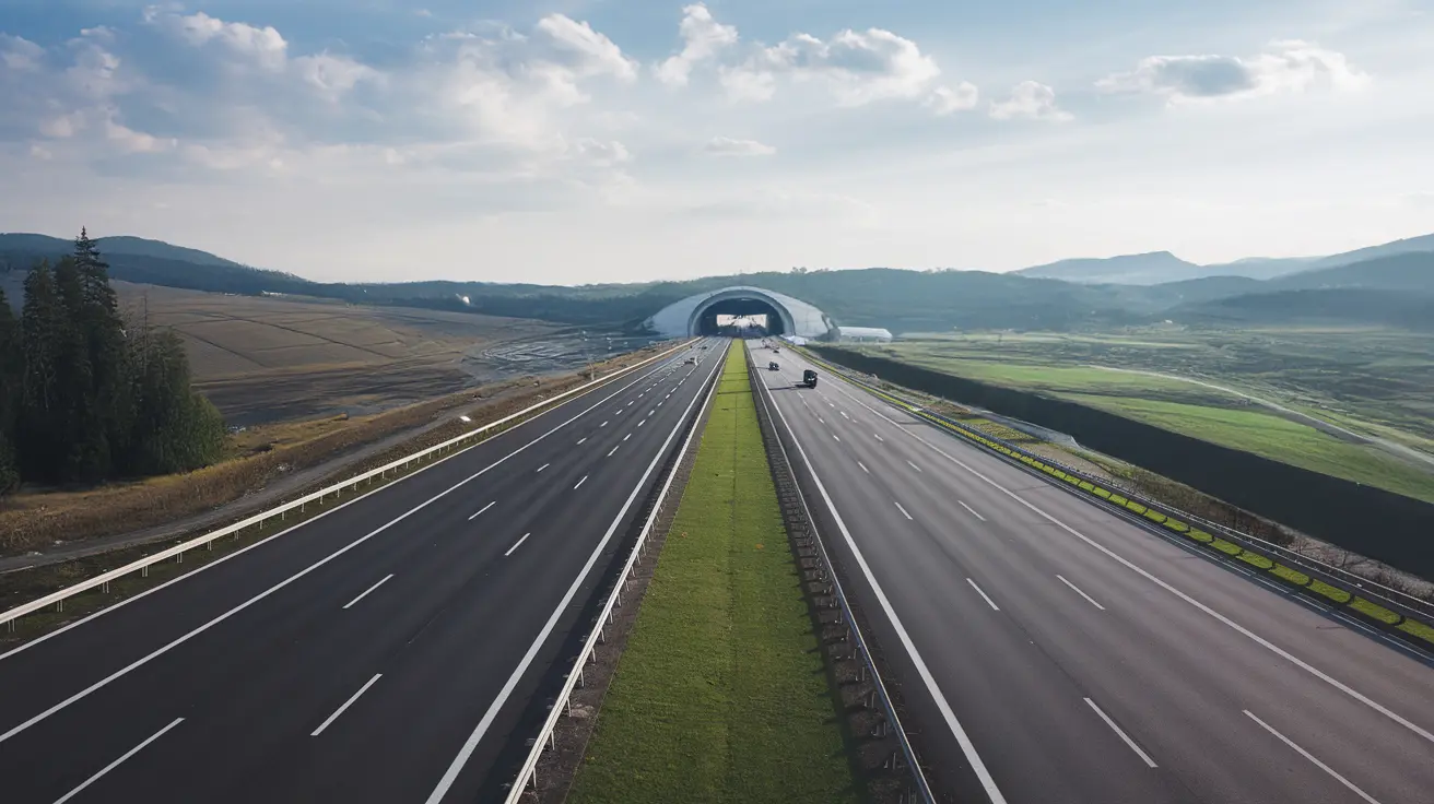
Route
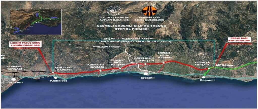
The Mersin Highway route is planned to carry heavy traffic on the region's coastal axis to a safer, faster, and more comfortable transportation corridor.
Modern transportation axis including connection roads.
Targeted uninterrupted and fast travel time.
Journey supported by rest areas and road assistance services.
Uninterrupted and Controlled Transport Axis
The route is designed to ease access to coastal and tourism areas west of Mersin, reduce inner-city traffic pressure, and divert transit traffic to a safer corridor.
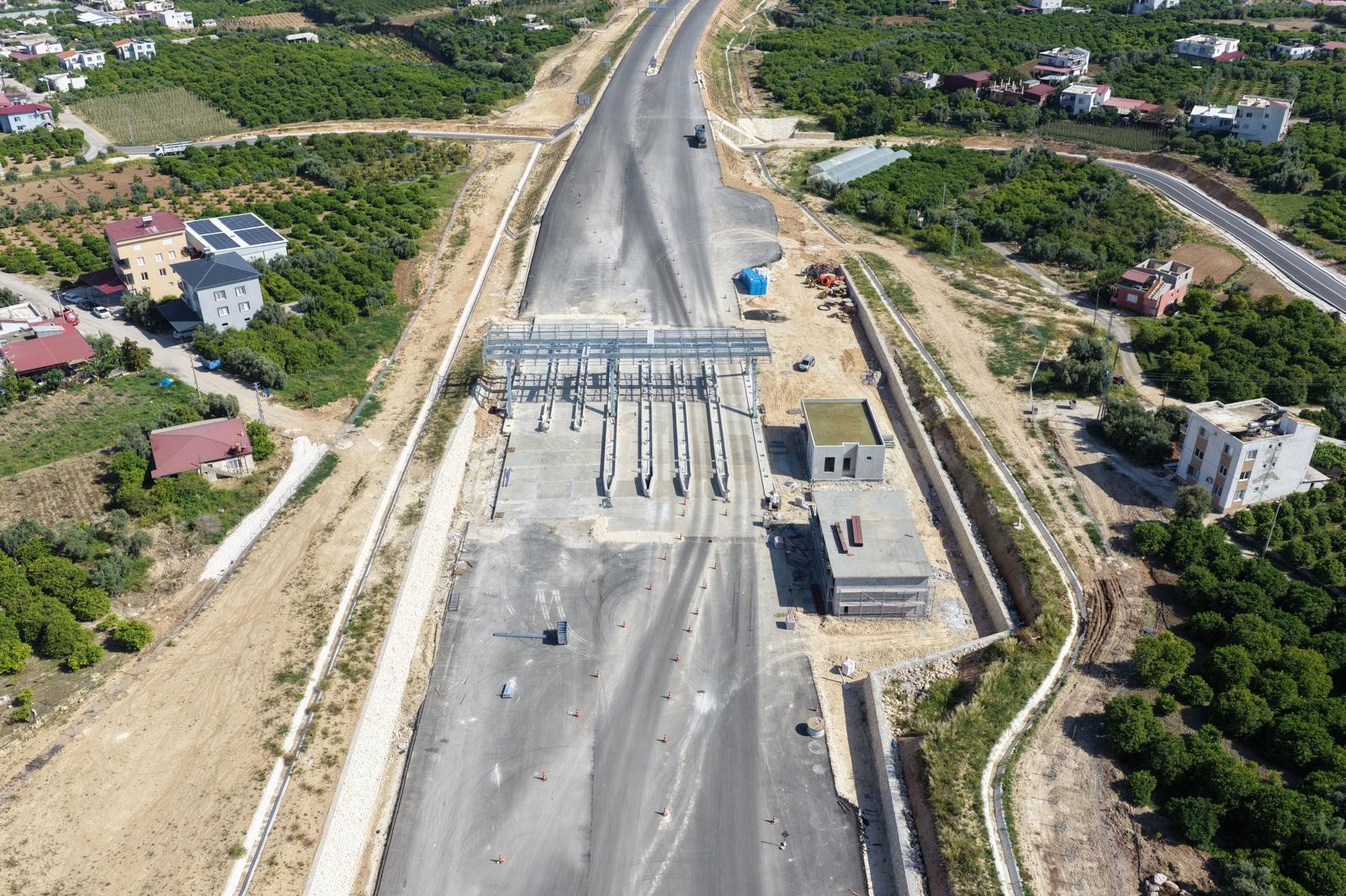
- check_circleControlled connection roads at entry and exit points.
- check_circleGuidance, lighting, and security monitoring infrastructure along the way.
- check_circleQuick access supporting tourism, logistics, and daily transport needs.
Service Areas Supporting Travel Comfort
Highway rest areas are planned for drivers to take safe breaks, meet basic needs, and continue their journey more refreshed.
Food & Dining
Break, rest, and basic service areas.
Parking Area
Organized spaces for passenger and heavy vehicle users.
Basic Services
Hygiene, accessibility, and daily usage needs.
Road Assistance
Guidance and support information in case of emergencies.